 orecast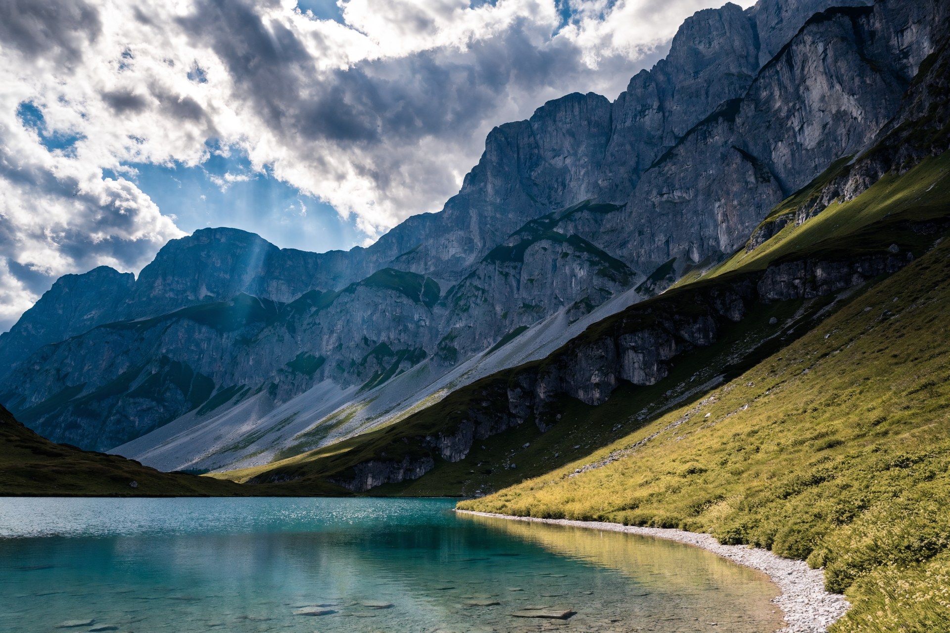
East of Salzburg, the Salzkammergut is one of Austria's richest fossil regions, for a simple reason: the limestone history of the Alps lies open here. The steep walls of the Dachstein, the Totes Gebirge and the Höllengebirge are built of Triassic and Jurassic limestones and dolomites, laid down some 200 to 240 million years ago on the floor of a warm sea, the Tethys. What now stands above 2000 metres was once the seabed.
The fauna is correspondingly rich. The Hallstatt limestones hold ammonites and the cone-shaped shells of other cephalopods; the Dachstein limestone carries fossil megalodont clams, whose cross-sections look like cattle hoofprints and are locally named after them. The Cretaceous Gosau beds, for instance around the Gosausee, yield clams, snails and corals from a shallow sea coast. The region is a name in geology: the village of Hallstatt lent its name to a whole stratigraphic stage, the Hallstatt limestone.
For collectors that means scree slopes, streambeds and trail cuttings can, with luck, give up an ammonite or a clam cross-section. Not every afternoon produces something spectacular, but the density of documented sites is high. ORECAST lists the recorded fossil localities within reach, each with its geological age and formation, so a search becomes a planned trip rather than a gamble.
Law and safety carry extra weight in the Alps. Large parts of the Salzkammergut lie in national parks and nature reserves, on the Dachstein and in the Totes Gebirge among others, where collecting is prohibited. Austria may also require that scientifically important finds are reported, and heritage-protection law applies. The high mountains forgive no carelessness, sudden weather, rockfall and pathless slopes are real hazards. Come prepared, respect the protected zones and stay with the accessible exposures in the valleys, and you will see one of the most instructive fossil landscapes in the Alps.
Minerals & raw materials in the Salzkammergut
Within 45 km of the Salzkammergut our database holds 342 documented mineral and ore points. The most common commodities nearby:
Documented finds nearby
- LugleitenSalz · source: GeoSphere Austria - Mineralvorkommen3.3 km
- ArikogelZink · source: GeoSphere Austria - Mineralvorkommen3.6 km
- RoßalmSalz · source: GeoSphere Austria - Mineralvorkommen3.9 km
- Niedere ScheibePyrit · source: GeoSphere Austria - Mineralvorkommen4.1 km
- Hallstatt (Hallstätter Salzberg)Salz · source: GeoSphere Austria - Mineralvorkommen4.2 km
- Roßalm IISalz · source: GeoSphere Austria - Mineralvorkommen4.4 km
- St. Agatha E - Leislingtal / LeißlingtalGips · source: GeoSphere Austria - Mineralvorkommen4.7 km
- St. Agatha - ZlambachgrabenGips · source: GeoSphere Austria - Mineralvorkommen4.8 km
- Goisern - Jochberg - HochmuthSalz · source: GeoSphere Austria - Mineralvorkommen5.3 km
- Leitgegkogel W - Taubenstein (Solequelle)Salz · source: GeoSphere Austria - Mineralvorkommen5.3 km
- Weissenbachtal - Bogengschwandalm SWLimonit (Eisenerz) · source: GeoSphere Austria - Mineralvorkommen6 km
- Rehkogel (Stambach)Limonit (Eisenerz) · source: GeoSphere Austria - Mineralvorkommen6 km
- Weißenbachtal - Lange StrubGips · source: GeoSphere Austria - Mineralvorkommen6.6 km
- HirschbrunnEisen (Siderit) · source: GeoSphere Austria - Mineralvorkommen7.5 km
Fossils in the Salzkammergut
- Schiechlinghöhe (Hofmuseum coll)Illyrian · Schreyeralm · source: PBDB2.6 km
- Schiechlinghöhe (Geol Reichsanstalt coll)Illyrian · Schreyeralm · source: PBDB2.6 km
- Schreyeralm (Geol Reichsanstalt coll)Illyrian · Schreyeralm · source: PBDB2.8 km
- Schreyeralm (Hofmuseum coll)Illyrian · Schreyeralm · source: PBDB2.8 km
- R232, Zwischenkögel, W of HalstattSevatian · Hallstatt · source: PBDB3.7 km
- R230, Zwischenkögel, W of HalstattSevatian · Hallstatt · source: PBDB3.7 km
- Plassen near Hallstatt, summit of Mt Plassen, Plassen FmEarly Berriasian · Plassen · source: PBDB3.7 km
- R234, Zwischenkögel, W of HalstattSevatian · Hallstatt · source: PBDB3.7 km
- Loc. 23 - Roßmoos [Halstatt Fm]Sevatian · Halstatt · source: PBDB3.9 km
- Loc. 11 - Hallstatter Salzberg [Zlambach Fm]Rhaetian · Zlambach · source: PBDB3.9 km
History & archaeology in the Salzkammergut
- Gräberfeldarchaeological5.3 km
- Schloss Grubcastle_monument6.4 km
- Burgruine Wildensteincastle_monument10.8 km
- Ruine Pflindsbergcastle_monument11.5 km
- Kaiservillacastle_monument12.9 km
- Felsritzbilder in der Notgassearchaeological20.1 km
- Alte Lasseralmhüttearchaeological21.6 km
- Spätrömische Fluchtburgarchaeological22.4 km
- Burg Statteneckarchaeological22.5 km
- Horstig Alpenheimarchaeological22.7 km
Treasure hunting, law & safety
We'd rather underclaim than oversell: a promising geology is no guarantee, and you won't find invented numbers here. Digging and collecting are regulated across Europe and usually need a permit, and protected monuments and nature reserves are off-limits.
Frequently asked questions
Can I dig or collect finds in the Salzkammergut?
Digging and collecting finds are regulated in most of Europe and usually need a permit; protected monuments and nature reserves are off-limits. ORECAST shows where protected/historical sites lie so you can check the local rules first. It is information, not a permit.
Where can I find gold in the Salzkammergut?
Around the Salzkammergut, gold is at most plausible as river placer (hobby-scale panning), not a documented deposit unless flagged on the map. ORECAST clearly separates documented finds from merely plausible geology, and it never promises gold.
What minerals and raw materials occur in the Salzkammergut?
Within 45 km we list 342 documented mineral/ore points. The most common nearby are: Kupfer, Gips, Eisen (Siderit), Salz, Blei.
Are there fossils in the Salzkammergut?
Yes, 1385 scientific fossil localities are recorded within 45 km (with geological age and formation).
Is digging dangerous in the Salzkammergut?
Possibly: former war zones can hold unexploded ordnance. Where a site is flagged with the ☢️ warning, never dig, it is a danger to life; contact the bomb-disposal service if in doubt.
Identify & compare:
Identify fossils · Identify rocks & minerals · Find gold · Find silver · Find gemstones · App comparison
Explore other regions:
Salzburg · Graz · Munich · Innsbruck · Bolzano (South Tyrol) · Solnhofen/Eichstätt