 orecast
The orecast app is here, for iPhone and for Android. After several rounds through Apple's TestFlight, two passes by Apple's review team and a closed test phase on Google's side, version 1.0 went public in both stores this week. If you have been checking what lies beneath a place on your computer so far, you now carry the map where it belongs, out in the field.


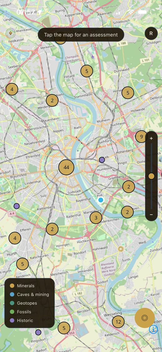
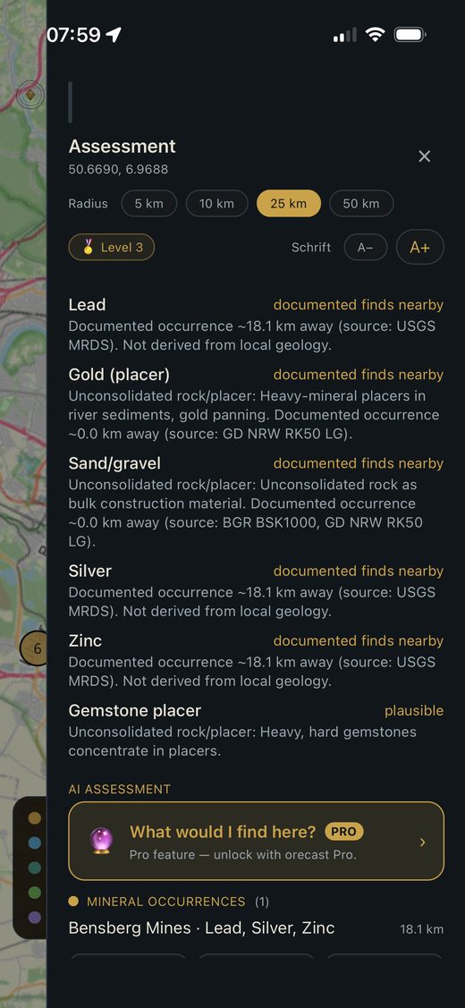
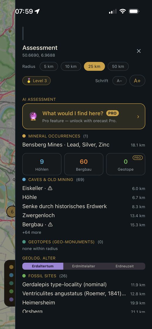
The foundation is the same as on the web: open, official geo-data and scientific databases covering the whole of Europe. The map holds more than 63,000 caves, karst features and historic mining points, along with recorded fossil sites, documented mineral occurrences and the geological units underneath. Tap a point and you get a profile of the area, with the sources behind it.
A smaller screen changes nothing about our line. We still keep what is genuinely documented apart from what the geology merely makes plausible. There are no invented percentages in the app either. Where the data is thin, the profile says so instead of dressing it up.
The app does a few things the browser cannot. You save finds and places as favourites, and the app remembers what you looked at last. A location search jumps you straight to a spot rather than scrolling the map, and sharing an interesting point takes two taps. The dinosaur layer now covers 36 sites across twelve European countries, and every commodity in a profile comes with a picture of the ore or mineral, so it is clearer what you are actually looking for.
For longer trips there are two Pro features. You can export finds as a GPX file and load them into a GPS device or hiking app. And you can store whole areas offline, so the map keeps working where the signal drops out. Deep in a forest or up in the mountains is exactly where that helps most. Pro also covers the short AI assessment that sums up what you can realistically expect at a place.
One thing stays important, in the app as much as in the field. A lot of what looks tempting on the map is protected, sits on private land or needs a permit. Most German states also apply the Schatzregal, a rule under which finds of archaeological rank belong to the state and must be reported. Old adits and shafts are genuinely dangerous, which is why we mark them in red. The app shows where something is documented. It is not a licence to dig.
One difference remains between the two versions, and for now it favours Android. The Play build ships two layers the iPhone does not have yet: 37 gold panning rivers across Europe and 15 documented amber areas. The reason is mundane, the iPhone package went to review a few days earlier. Both reach the iPhone in an update, and that build is in the works.