 orecast
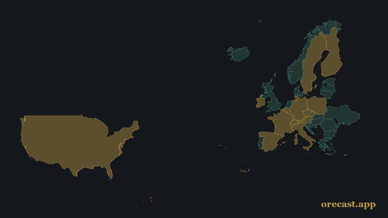
When you tap a point on the map, orecast tells you which rock lies there and what is documented nearby. Both depend on the data behind it, and that is exactly what we have expanded over the last few days. All new sources come from official geological surveys and are free to use.
Germany: rocks with their age
For Germany we now use the 1:250,000 geological overview map of the Federal Institute for Geosciences and Natural Resources (BGR), with 161,946 areas. The main addition is age. Until now a point only told you the rock type. Now it also tells you which period it comes from, often with the name of the formation. On the Swabian Jura it reads, for example, "Aalenian (Opalinus Clay Formation)", in the Harz "Pennsylvanian (Oker granite)".
Europe: one map for 23 countries
For the rest of Europe we add the 1:1 million surface geology published jointly by the geological surveys (EGDI). It covers 23 countries, including the United Kingdom, France, Spain, Italy, Poland and all of Scandinavia. Near Kiruna in Sweden, for instance, the map shows rhyolite from the Orosirian, the almost two-billion-year-old rock that hosts the iron ore.
Three more German states for raw materials
Saxony-Anhalt adds 300 mining rights, including its salt and potash fields and lignite, plus 74 extraction areas for quartz, clay and feldspar and 1,911 areas from its map of near-surface raw materials. Thuringia contributes 169 deposits currently being mined, Rhineland-Palatinate 627 areas where, according to the state survey, raw materials are extracted. We deliberately left out pure planning zones and forecast maps. The map only shows what is documented.
USA: old mines from historical maps
We already had more than 260,000 documented mineral occurrences in the USA. New are 383,809 mining features that the US Geological Survey digitised from its historical topographic maps. They include 84,932 adits, 45,519 shafts and 216,880 prospect pits, places where someone dug for ore. Within ten kilometres of Virginia City, Nevada, where the Comstock Lode silver vein was mined in the 19th century, there are more than 1,200 of them. We have also added the geological map of the 48 contiguous states.
Old adits and shafts are deadly, in the USA as anywhere else. They can collapse, flood or hold gases you cannot smell. That is why the map marks them as dangerous. Please never go inside.
What is still missing
Fossils and historical sites are so far available for Europe only. For Norway we have the geology but no official raw material data yet. You can find the exact sources behind the map on our methodology page.