 orecast
A stone surfacing in a river is not usually news. This one is different: in early August the Dresden gauge fell to 54 centimetres, and in the riverbed near Pirna a hunger stone became visible, a boulder into which people have been carving the Elbe's great drought years since 1707. It bears more than twenty dates, the most recent from 2003 and 2015. When this stone can be seen, the Elbe carries so little water that in earlier times the harvest was at stake.

Gauges from before gauges existed
Before measuring stations recorded water levels, people along the river helped themselves: they chose prominent boulders in the riverbed and chiselled the year into them whenever the water set them free. An obstacle to shipping became an archive. The Saxon flood centre, together with Senckenberg Dresden, has catalogued 23 such objects between Techlovice in Bohemia and Magdeburg: hunger stones, inscribed shallows, low-water marks on buildings.
The place names read like a journey down the river: Děčín, Techlovice, Königstein, Pirna-Oberposta, Pillnitz, Laubegast, Schönebeck. At Oberposta there are three stones; the oldest carries the year 1707. And on the palace steps of Pillnitz, lines at the foot of a sphinx mark the low waters of 1873, 1904 and 2003.
“When you see me, weep”
The most famous hunger stone lies upstream of Pirna at Tetschen, today's Děčín in the Czech Republic, on the left bank below the Tyrš bridge. Carved into the basalt, in German, is the warning that gives this article its title. It dates from the nineteenth century, when the Elbe valley on both sides of today's border was German-speaking.
It is often reported that the year 1417 can be read on the stone. That is no longer true: anchoring ships have worn away the oldest marks over the centuries. The oldest date that can still be verified is 1616, established by Czech hydrologists who systematically analysed the marks in 2020. Even so, the Tetschen stone remains one of the oldest hydrological monuments on the Elbe.
What the years tell
Read in sequence, the verified marks form a chronicle of dry years: 1616, 1666, 1681, 1707, 1842, 1904, 1947. The year 1904 appears on almost every stone. At Schönebeck the record even notes a gauge of minus 47 centimetres. And 1947 stands for Dresden's all-time low, still unbroken: 21 centimetres on 12 August 1947.
A chronicler from Meissen recorded what it felt like when the stones appeared: writing about the sighting of 1746, Johann Friedrich Ursinus noted that in that year, "owing to very hot weather, almost all waters dried up". The Meissen stones themselves are lost today. Only the account remains.
The summer of 2026
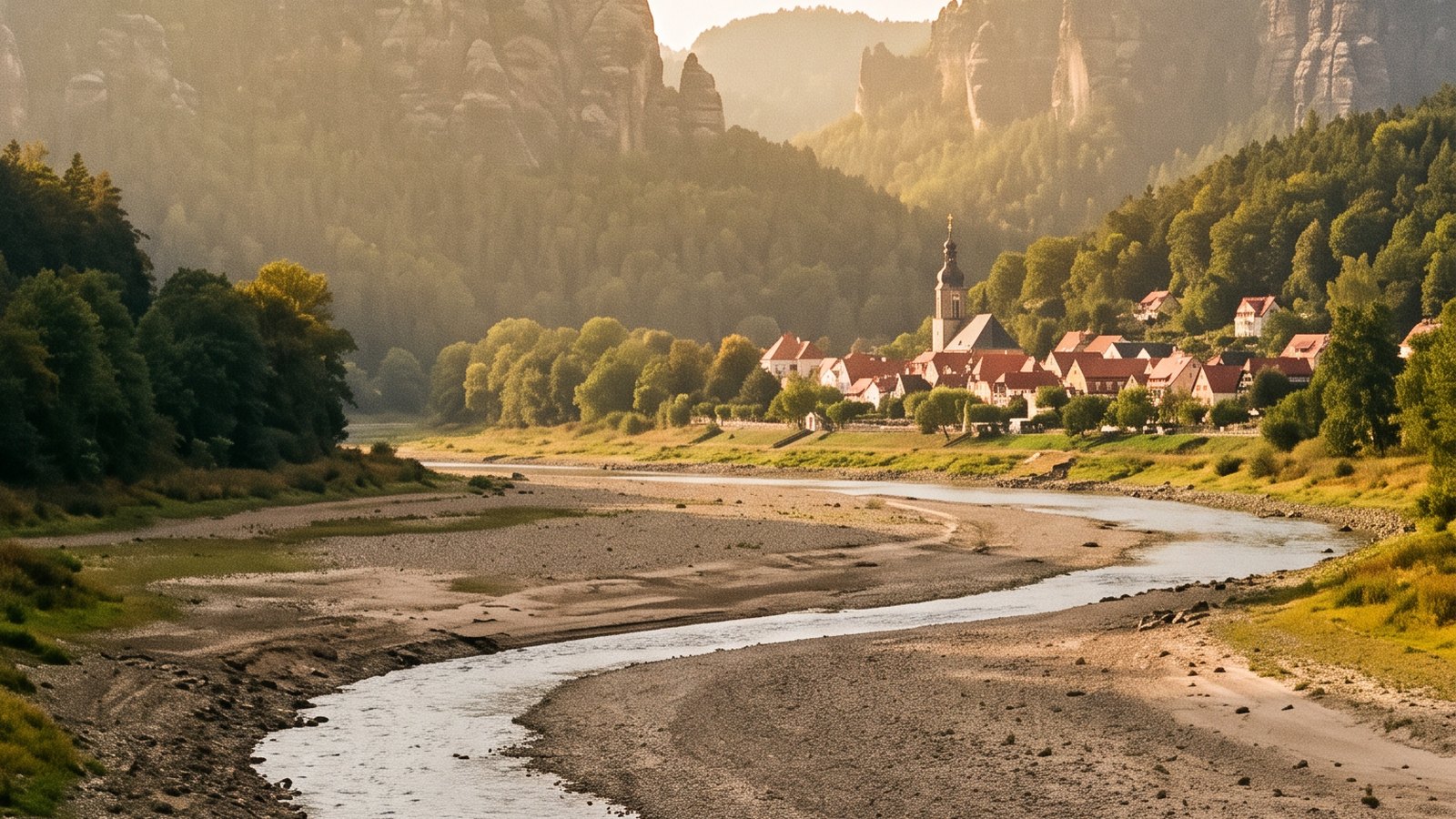
In early August, 82 percent of Saxony's 146 gauges reported low water, freight shipping on the Elbe practically came to a halt, and Dresden's White Fleet cancelled its routes into Saxon Switzerland. On 9 August the Dresden gauge stood at 54 centimetres. Honesty requires the other half of the picture too: the situation has eased slightly since. On 26 August the gauge was back just above the low-water mark at 72 centimetres. This summer has not touched the 1947 record. Whether the stones stay visible until the autumn rains is up to the weather.
If you drive to the riverbank to see a hunger stone: look, photograph, but do not carve. New marks are set by professionals today; in 2016, Dresden archaeologists deliberately placed a new hunger stone at Tolkewitz so the chronicle continues.
What else low water reveals
The Elbe is not alone this summer. On the Rhine, the Kaub gauge fell below its record from the drought year of 2018 in August, and on the Danube, falling water has shown in earlier years what rivers keep: near Budapest a Wehrmacht motorcycle, and beside it dozens of anti-tank mines. That is why every low-water report comes with the same sentence: if you find something metal on a dried-up bank, do not touch it, note the spot and call the police. Ordnance from the rivers is still live today.
Against that background, the hunger stones are something special: they are the rare case of a river revealing not something dangerous at low water, but a message. People who stood on the same bank four hundred years ago left it for precisely this moment, for the day the water drops as low as it did for them. An archive that opens itself when it is needed.
What else lies in the Elbe valley
Beyond the stones, the valley between Dresden and the border is full of documented history: our map knows 41 named caves there, from the Diebskeller to the Ice Cave, plus dozens of historic sites such as Königstein Fortress, the Lilienstein and the Sonnenstein above Pirna. See what is documented around Pirna, or start from the Dresden region page.
Sources: Saxon State Flood Centre (hunger stones data sheet) · PEGELONLINE (WSV) · Elleder et al. 2020, Climate of the Past 16 · dpa/LHWZ, 9 August 2026. The photos in this article are AI reconstructions, not images of the real stones.