 orecast
Update, 27 July 2026: the app went live on the App Store this week. Read the current post
ORECAST is getting its own iPhone app, and it is almost ready. The final test round is running through Apple's TestFlight, and the App Store release follows right after. If you have been checking what lies beneath a place on your computer so far, you will soon carry the whole thing in your pocket.
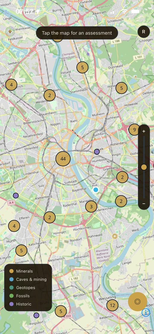
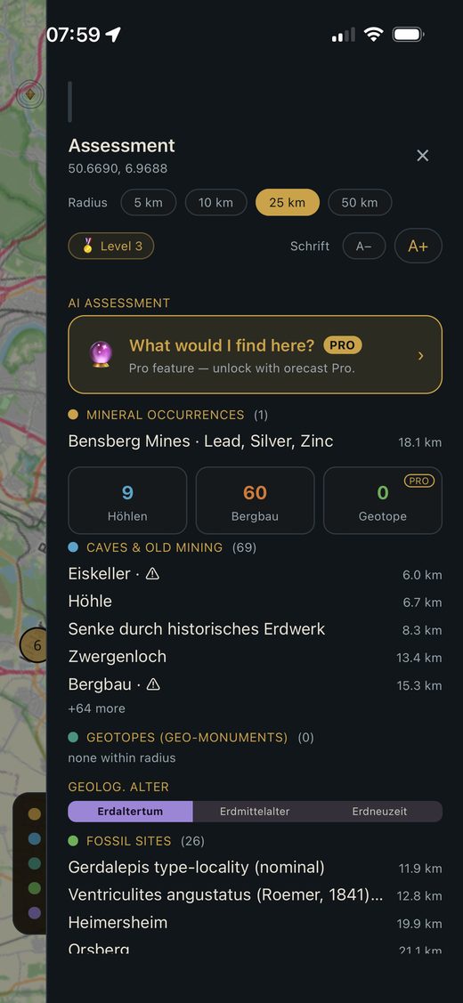
The app draws on the same source as the website: open, official geo-data and scientific databases covering the whole of Europe. Over the past few weeks more than 63,000 caves, karst features and historic mining points have been added. That layer ships with the app too, including the red warning on spots you are better off not entering.
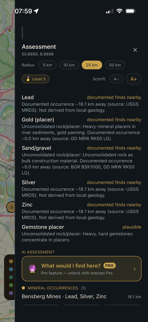
Tap a point on the map and you get a profile of the area: which minerals, fossils and geological features are documented nearby, and what the geology makes plausible beyond that. Our line does not change on a smaller screen. We keep what is proven apart from what is merely likely, and there are no invented percentages here either.
A few things are new. For any place you can pull up a short AI assessment, which is part of ORECAST Pro. You can save finds and locations as favourites, and the app remembers what you looked at last. A location search jumps you straight to a place instead of scrolling the map, and sharing an interesting spot takes two taps.
For longer trips there are two Pro features. You can export finds as a GPX file and load them into your GPS device or hiking app. And you can save whole areas offline, so the map still works where the signal drops out. That is exactly where it helps most, deep in a forest or up in the mountains.
One thing stays important, in the app as much as in the field. A lot of what looks tempting on the map is protected, sits on private land or needs a permit. Old adits and shafts are genuinely dangerous, which is why we flag them clearly. The app shows where something is documented. It is not a licence to dig.
The app is meant for anyone already out and about: collectors, hikers, geocachers, curious walkers. You do not need to be a geologist. One place, one tap, and you can see whether silver, iron or brown coal once sat beneath your feet, where fossils are documented and which spoil heaps the old mining left behind.
We will post here the moment the app goes live. Until then you can try the map in your browser and see what lies beneath your own place.